Get monthly insights in your inbox! Sign up below.
December 2025
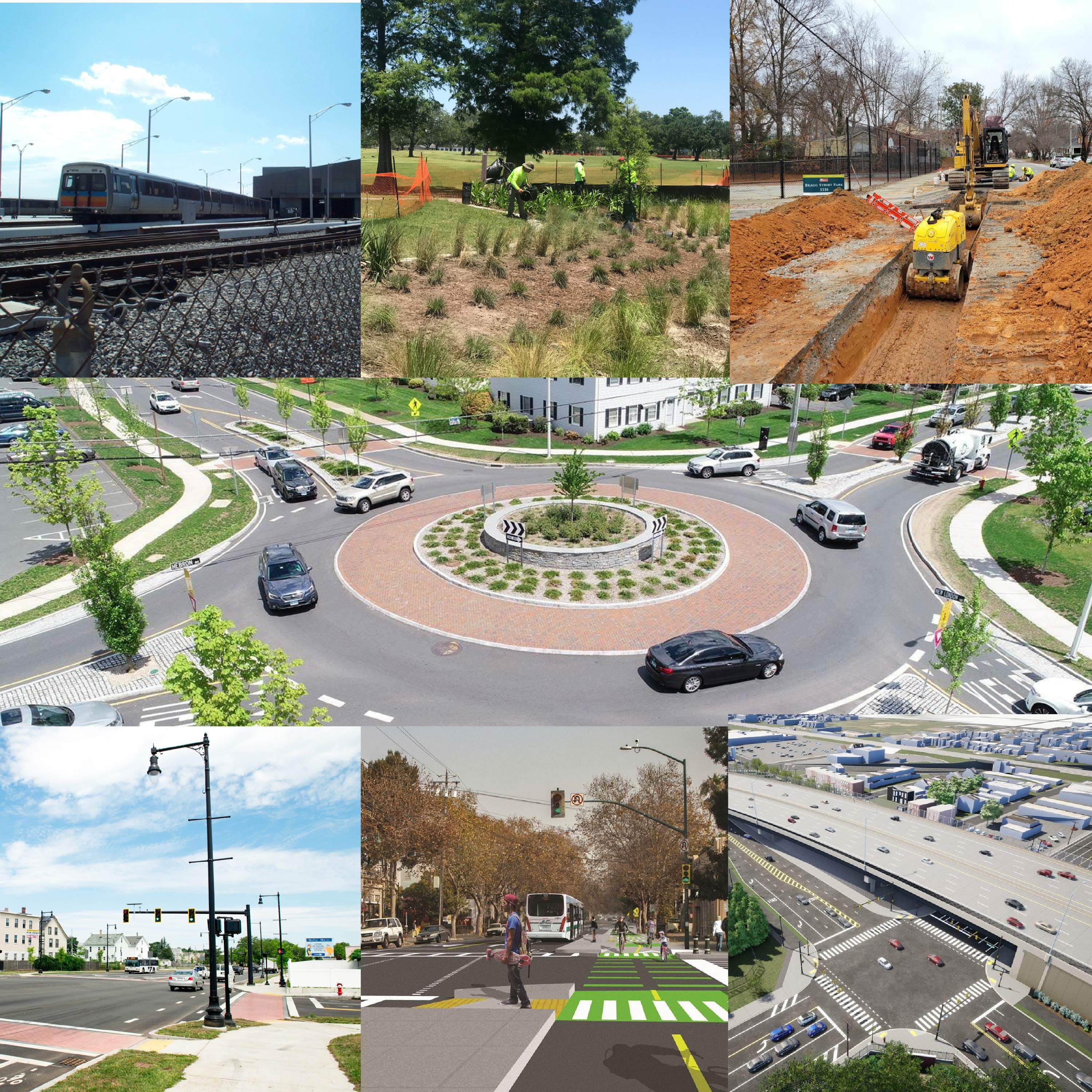
A Look Back at 2025
We've rounded up all the greatest Complete Corridors interviews, insights and project spotlights from 2025. See how our leaders in integrated infrastructure planning are unlocking untapped results for cities nationwide.